

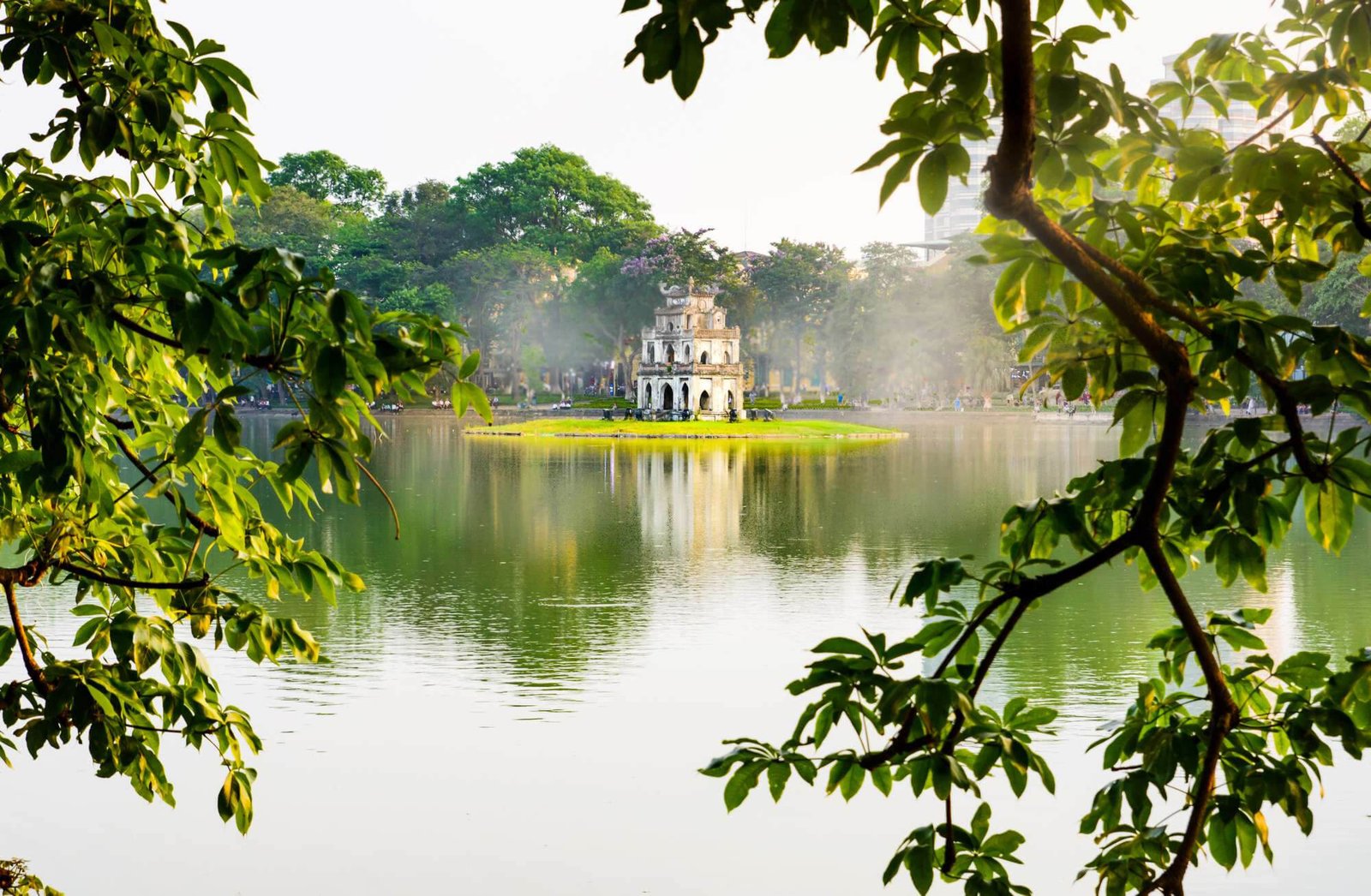
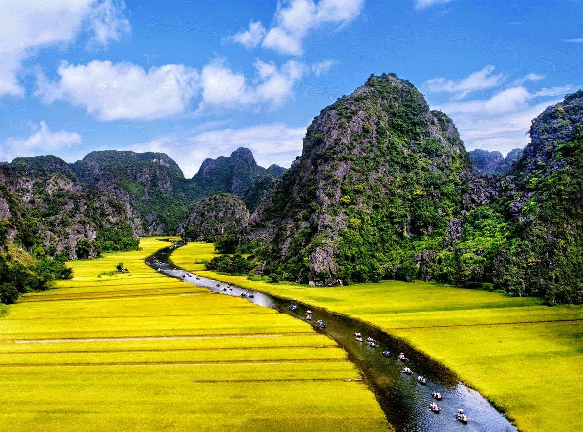


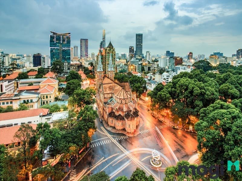


Some of the must-visit destinations in Vietnam include Hanoi, Ho Chi Minh City, Ha Long Bay, Hoi An, Hue, Nha Trang, Da Nang, Sapa, Mekong Delta, and Phu Quoc Island.
The number of days you should spend in Vietnam depends on the destinations you want to visit and the activities you plan to do. A minimum of 7-10 days is recommended to explore the major highlights of the country, but if you have more time, you can easily spend 2-3 weeks or even longer to fully experience all that Vietnam has to offer.
The best time to visit Vietnam is generally during the spring (February to April) and autumn (August to October) seasons when the weather is mild and pleasant. However, Vietnam is a diverse country with varying climates, so the best time to visit certain regions may differ. It's advisable to check the weather conditions for specific destinations before planning your trip.
Yes, most visitors to Vietnam require a visa. However, there are some exceptions for citizens of certain countries who can enjoy visa-free entry for a limited duration. It's recommended to check with the Vietnamese embassy or consulate in your country or consult a travel agent to determine the visa requirements based on your nationality.
When visiting Vietnam, it's important to respect the local customs and cultural norms. Some general etiquettes to keep in mind include dressing modestly, especially when visiting temples or religious sites, removing your shoes before entering someone's home or certain establishments, greeting locals with a smile and a slight bow, and avoiding public displays of affection. It's also polite to ask for permission before taking photos of individuals, especially in rural areas.
Vietnam is generally a safe country for tourists. However, like any travel destination, it's important to exercise common sense and take necessary precautions. Keep an eye on your belongings, be cautious of your surroundings, and use reputable transportation and accommodation services. It's also advisable to have travel insurance that covers medical emergencies and trip cancellations.
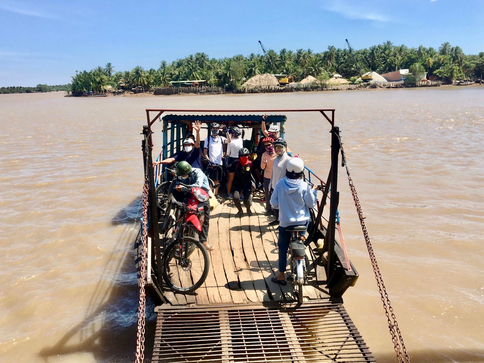
Vietnam has a well-developed transportation system that includes domestic flights, trains, buses, taxis, and motorbike rentals. Domestic flights are the fastest way to travel between major cities, while trains and buses offer more affordable options for long-distance travel. Taxis and ride-hailing services like Grab are popular for shorter journeys, and renting a motorbike is a common choice for exploring cities and rural areas.
The official currency of Vietnam is the Vietnamese Dong (VND). While cash is widely used, credit cards are accepted in many hotels, restaurants, and larger establishments in major cities. It's advisable to carry some cash for smaller transactions and in more remote areas where credit card acceptance may be limited.
Vietnamese cuisine is renowned for its fresh ingredients, vibrant flavors, and diverse regional dishes. Some popular Vietnamese dishes you should try include pho (noodle soup), banh mi (Vietnamese sandwich), bun cha (grilled pork with noodles), com tam (broken rice), fresh spring rolls, and cao lau (Hoi An specialty). Don't forget to sample Vietnamese coffee and try the local street food for an authentic culinary experience.
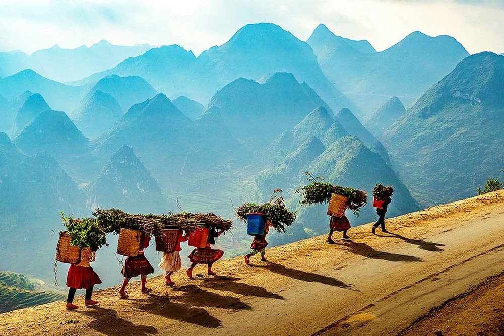
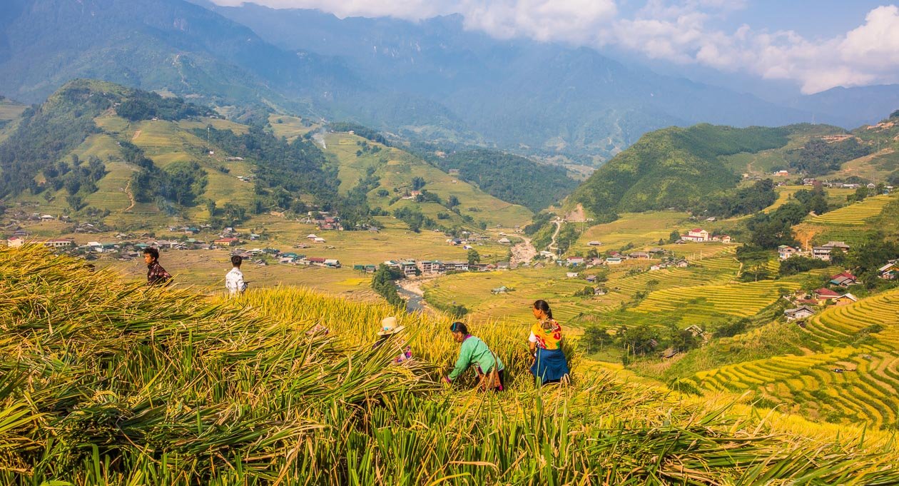
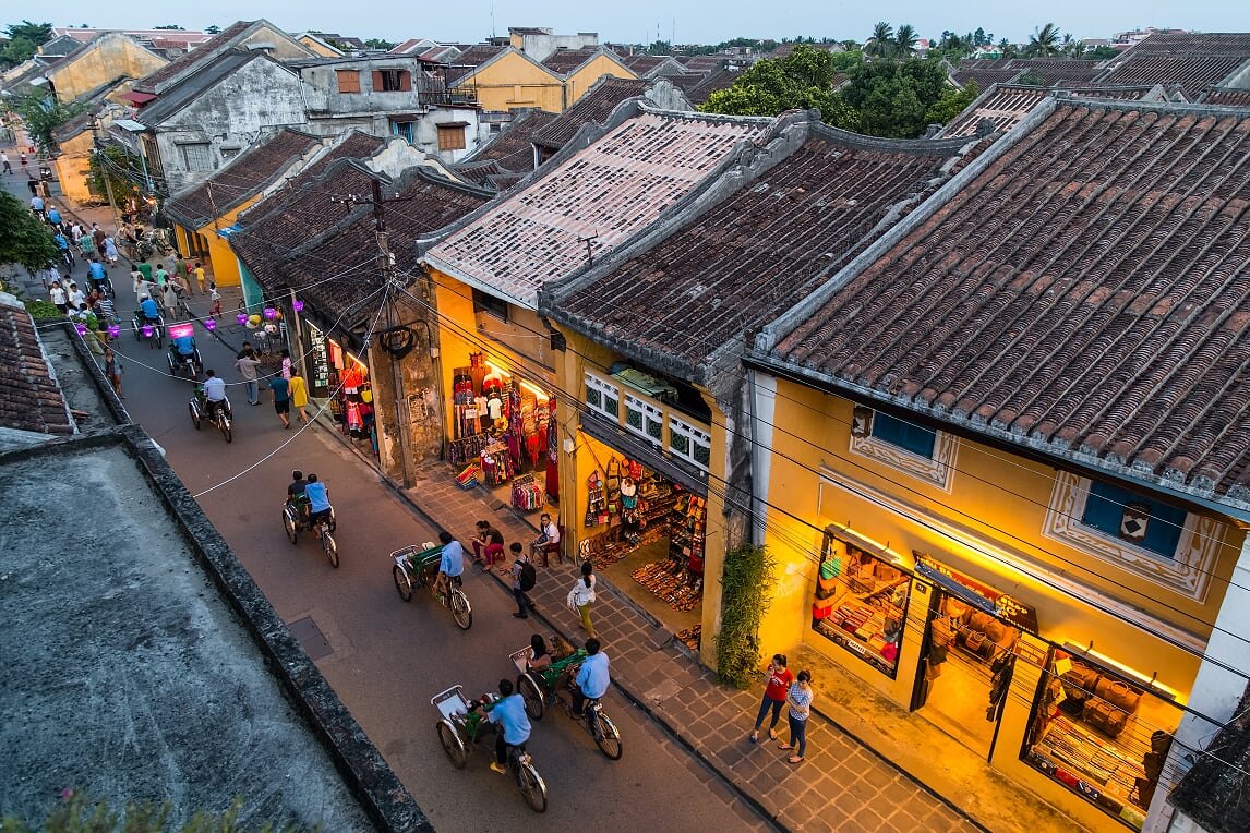
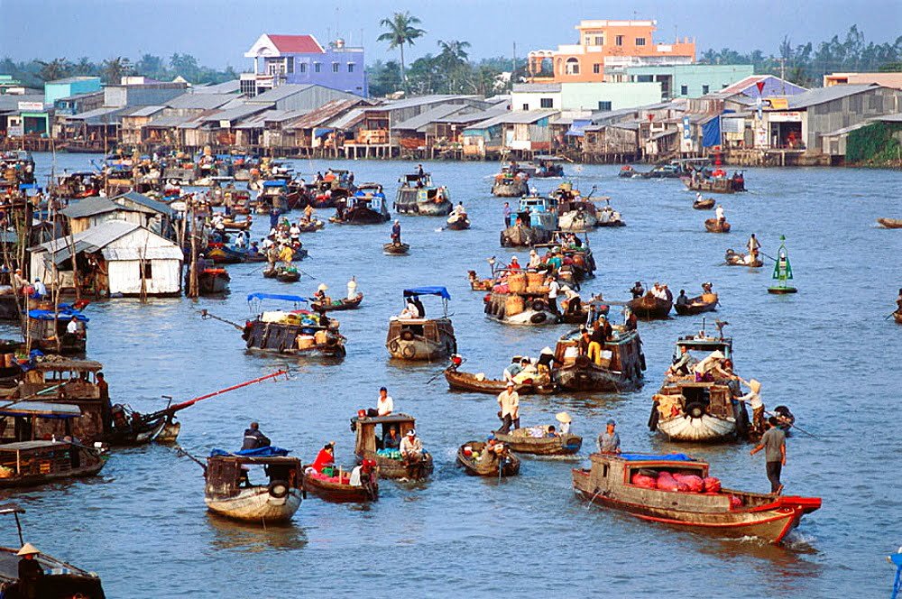
Vietnam offers a wide range of unique experiences and activities. Some recommendations include cruising through the stunning limestone formations of Ha Long Bay, exploring the ancient town of Hoi An with its lantern-lit streets, trekking through the terraced rice fields of Sapa, taking a boat tour in the Mekong Delta to experience the floating markets, learning to cook traditional Vietnamese dishes in a cooking class, and participating in a homestay to experience the local way of life.